


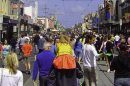


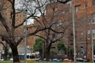


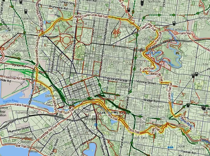
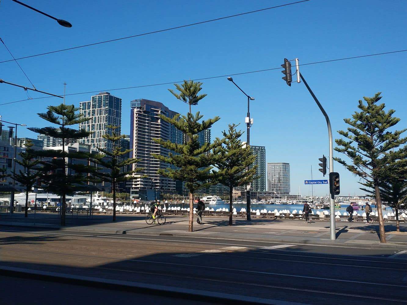
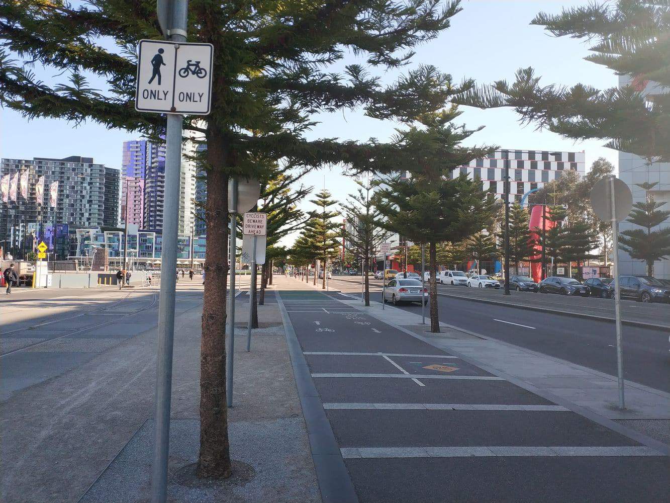
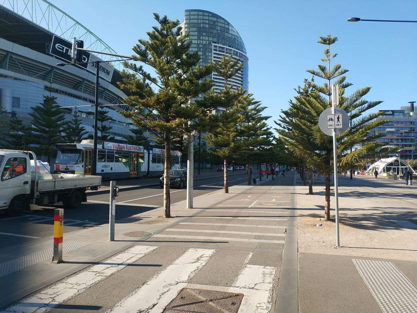
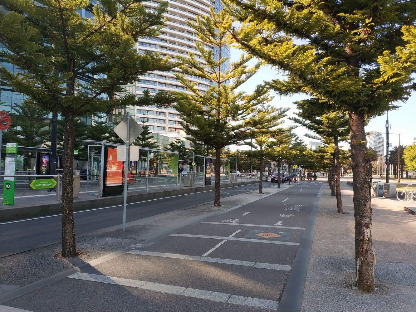
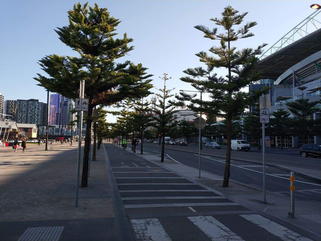
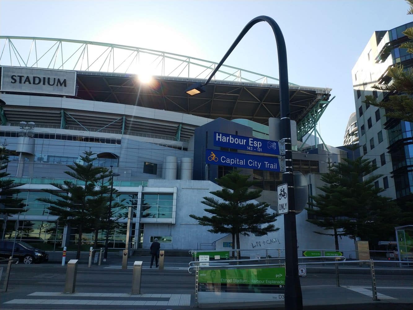
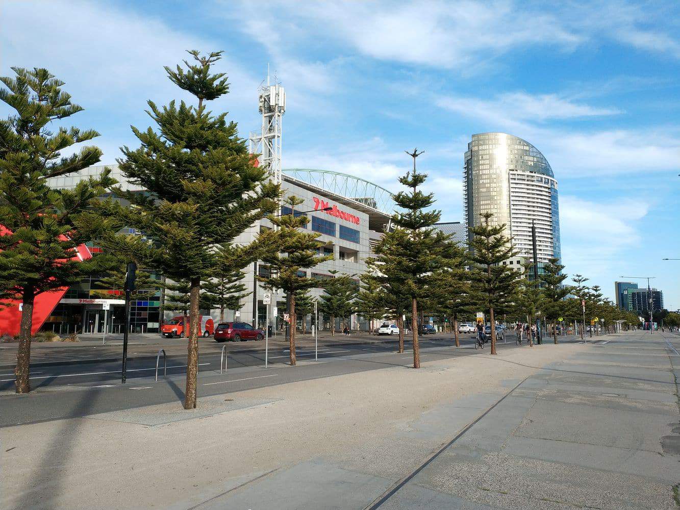
The Capital City Trail is a bike, walk and running path that winds around the CBD into the northern suburbs and provides connections to some of Melbourne’s most popular locations.
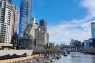
The trail is a path for both cyclists and pedestrians and stretches 29 kilometres in length from Southbank,(clockwise) through the northern part of the CBD, south over the Yarra Trail and finishing back at Docklands.
Capital City Trail Melbourne Map, Bike Path, Walking & Running Track VIC
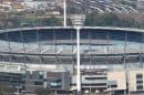
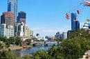
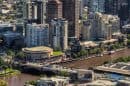
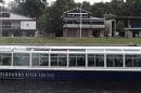
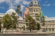
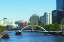
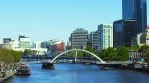
The most popular starting point for those visiting the city for the first time is Princes Bridge. The bridge is easily accessible from Flinders Street Station. From this location you can head in either direction of the trail.You may also begin at Southbank as you follow along the waters of the iconic Yarra River. This route will allow you to see some famous attractions such as the Royal Botanic Gardens, Melbourne Park as well as the Victorian Arts centre. Further along the trial, you will pass by Royal Park, the Polly Woodside Maritime Museum as well as the Melbourne Convention and Exhibition Centre.
As the track is used by many commuters to get in and out of the city each day, you will find that there are many train/tram stations along the way, which means that you can plan a long or shorter journey along the trail.
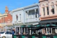
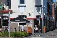
Stop along the trail and grab a quick coffee or a long lunch at one of the many cafes and restaurants that dot the trail. So grab your bike or your best walking shoes and spend a day in the outdoors along the amazing Capital City Trail in Melbourne.
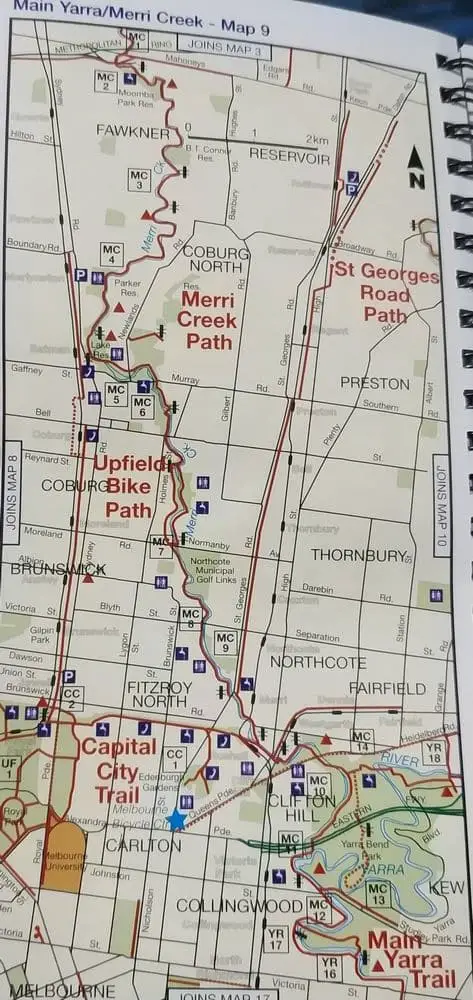


Do you have a map/detailed instructions of the capital city trail.
Hi Wanda,
There is a map included in our post. For more detailed instructions, I suggest you contact the City of Melbourne, they may have something more detailed.
Regards,
Jess