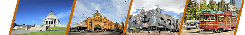


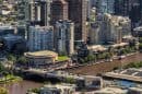

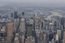


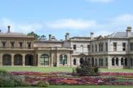

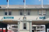


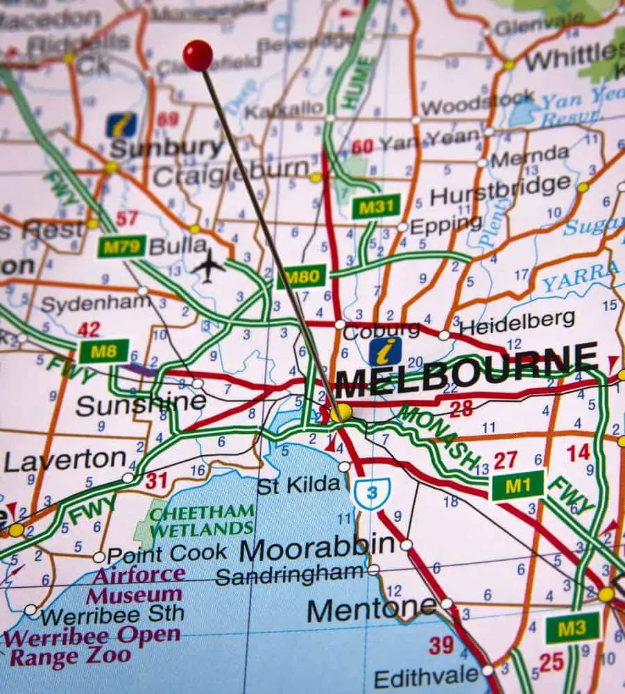
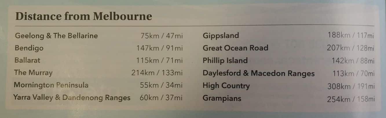
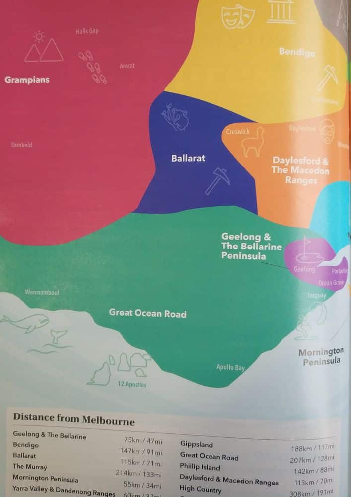
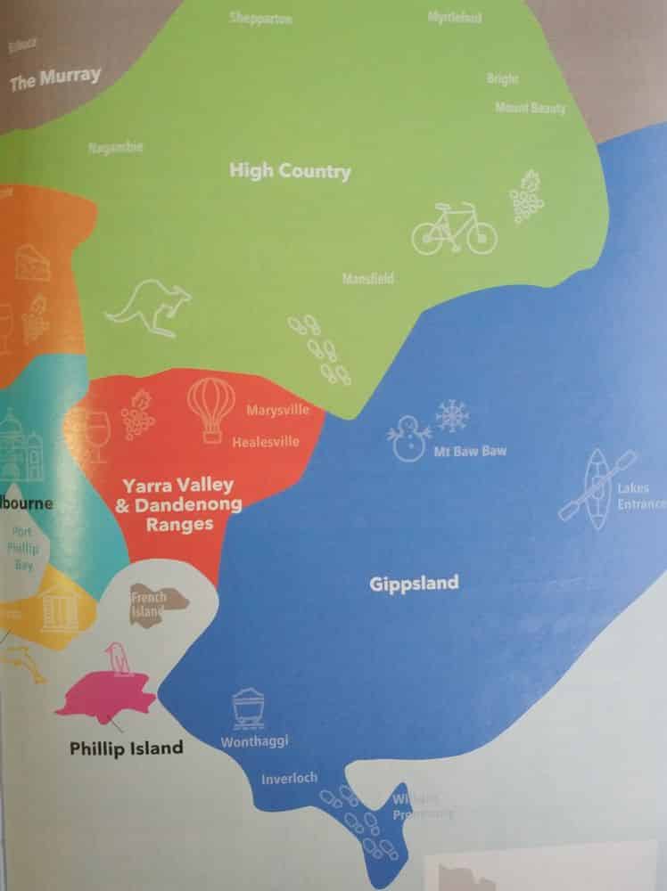
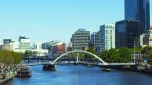
Travelling across any nation requires a handy guide, and in the case of Australia, there is no better accompaniment than a Map of the Melbourne suburbs.
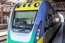
Melbourne Train Maps, CBD, Suburbs & Surrounding Areas
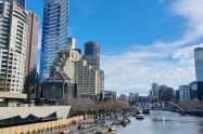
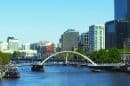
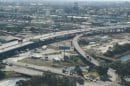
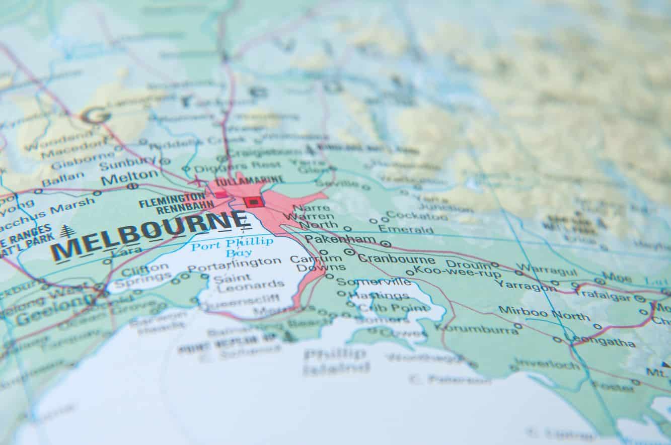
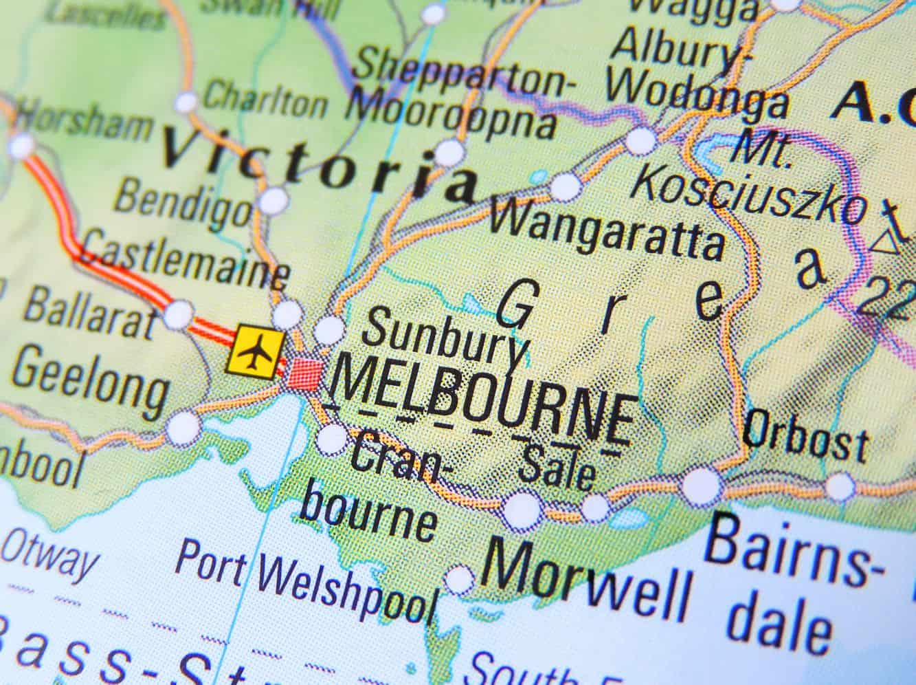
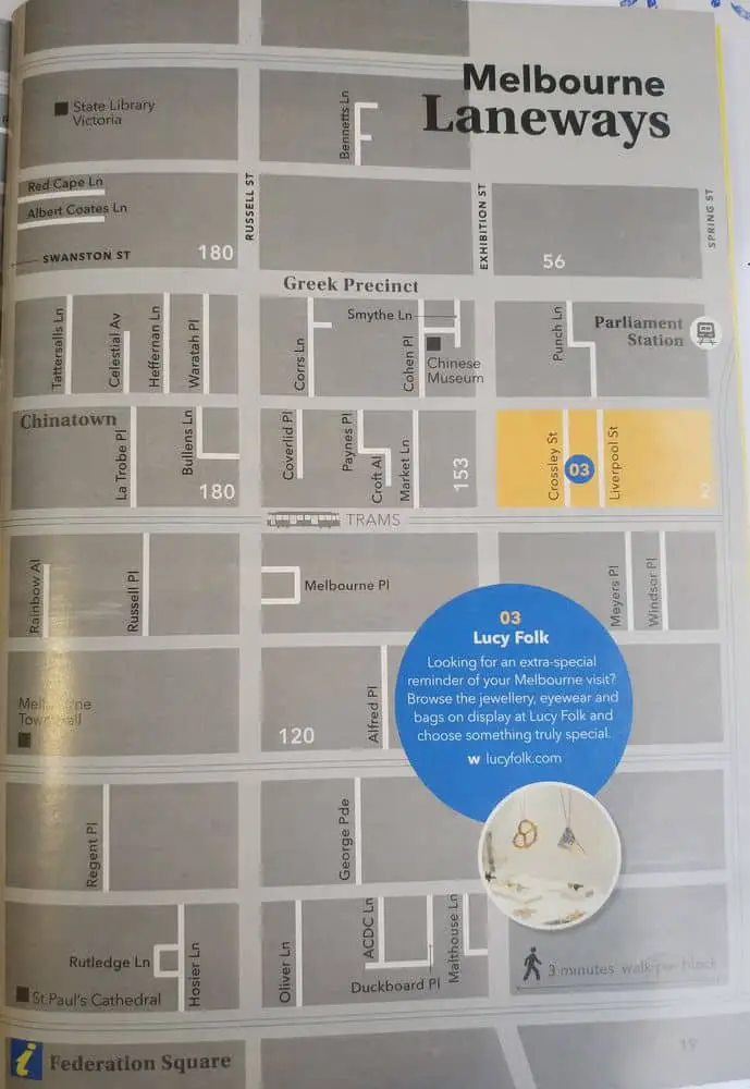
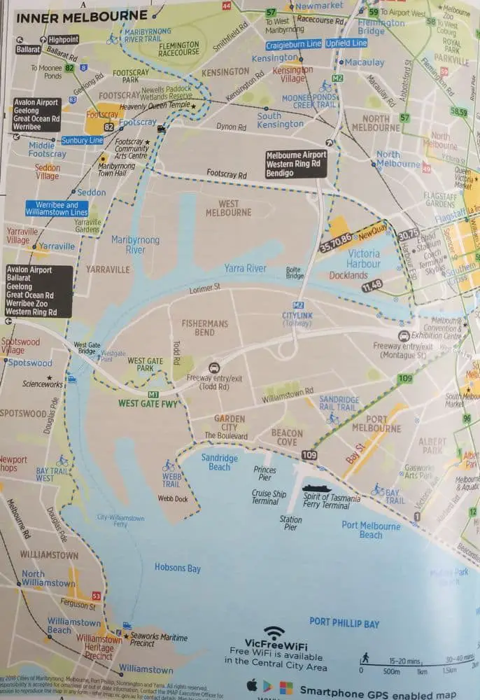
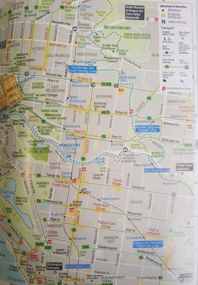
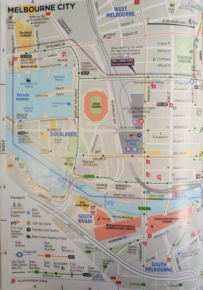
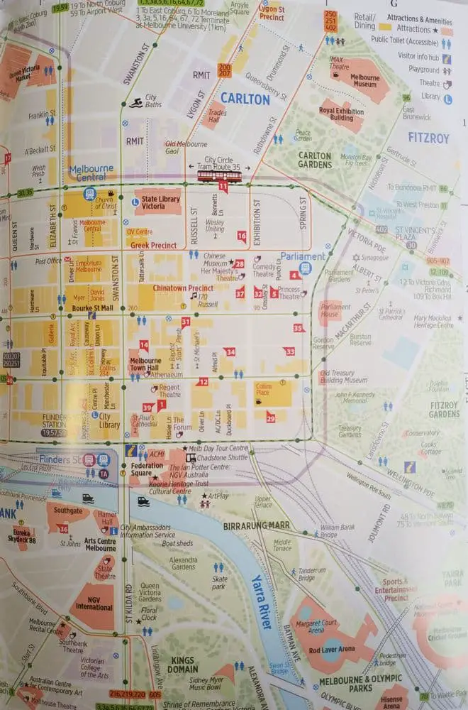
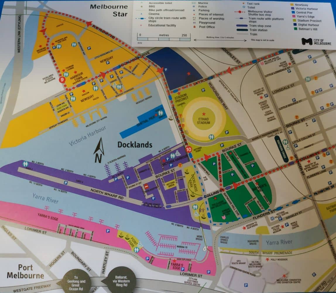
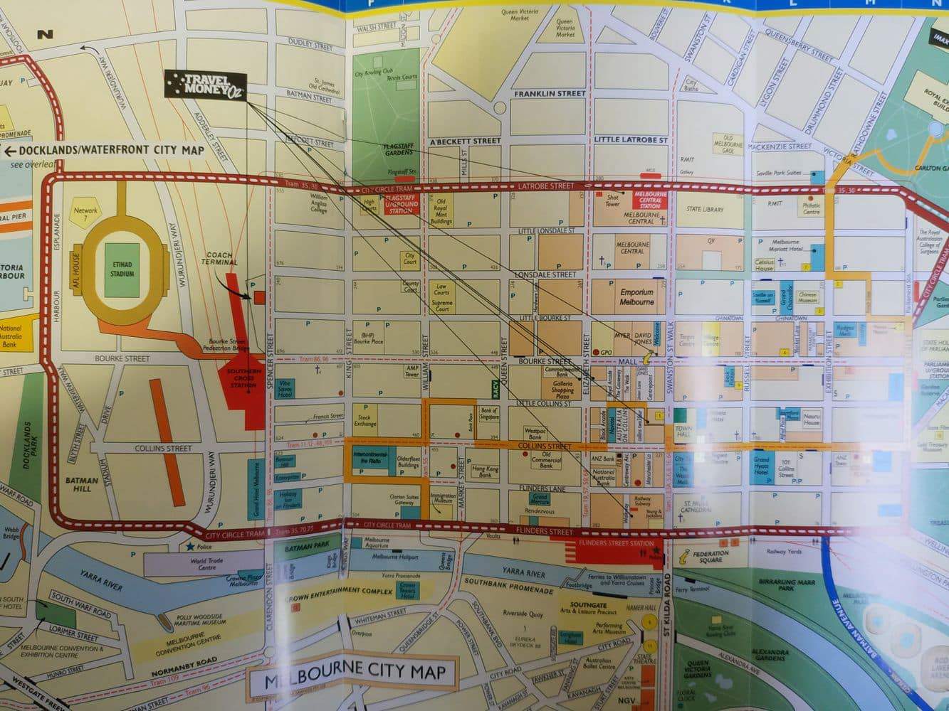
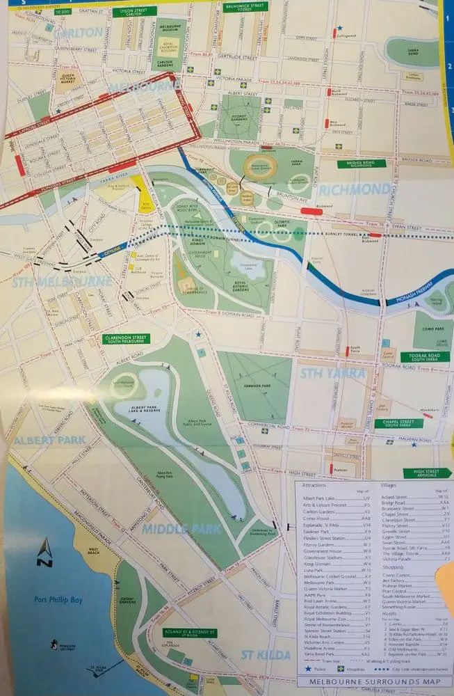
For the typical tourist traversing Melbourne’s varied cityscapes, the need to have a map cannot be underestimated. A well-equipped guide will contain directions to the CBD and various suburbs in Melbourne and are particularly handy for those who will spend a lot of time travelling to different destinations outside of the city.Some of the most important features on Melbourne suburb maps include a detailed map of the transport network that shows both public and private roads leading up to various locations. The public transport system is also outlined on the maps; highlighting the many different tram and train lines. This comes in handy when planning an itinerary that will involve public transport to the outer suburbs.
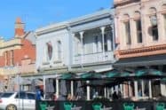
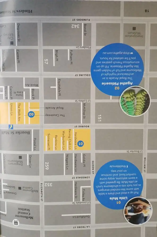
A map of Melbourne CBD and suburbs is a must-have for anyone who wants to explore the wonders of Melbourne. The maps can be downloaded from various official websites as well as purchased from various tour-operated outlets.


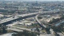

yarra tunnell, can i pay after i use it
Hi Howard,
Yes, you can travel first and then purchase a pass afterwards. You have two/three days after travelling in order to purchase a pass (depends on whether you travel on a weekend or weekday) Go to the Citylink website to purchase a pass.
Regards,
Jess